Search
Close this search box.

Crisis Track ®

Disaster Management Software

Identify disaster cost and complete FEMA paperwork for faster disaster assistance
Plan

Stage your organization’s GIS or tax data to identify all infrastructure locations and values making the mobile damage assessment collection a quicker and more accurate process.

Manage

Use initial damage reports from your citizens (by phone or by web) to help you identify the area of concern and assign infrastructure locations to damage assessment teams.

Report

Manage each team’s time and locations as well as view assessment results in automatically generated FEMA Project Worksheet and ICS forms.

Crisis Track is award-winning damage assessment software designed to rapidly and accurately collect damage assessments for FEMA's disaster declaration process. Now part of the Juvare suite of solutions, Crisis Track has a standard, supported, integration with WebEOC®, enabling near real-time data sharing.

Crisis Track processes and maintains infrastructure data before a disaster even happens. This solution collects and loads the dimensions and replacement costs for buildings, public utilities, bridges and culverts, and electric utility assets, and then uses this data to prepopulate web and mobile-based damage assessment forms with accurate data - making damage assessment much easier for your field teams.

Three solution tiers are available to fit your organization’s unique needs:

Damage Assessment: Conduct damage assessments on infrastructure using GIS or tax data in preparation for a disaster declaration.

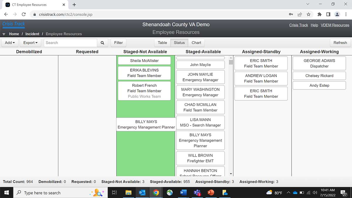
Disaster Management: In addition to the capabilities of the Damage Assessment tier, the Disaster Management tier provides additional functionality for post-declaration processes such as debris monitoring and force labor and equipment time tracking.

All Hazard Emergency Management: Building on the other two tiers, All Hazard Emergency Management provides specialized workflows for emergency management incidents, as well as additional response functionality such as incident action planning, resource management, and situation reporting.

Learn more about each tier below.

Features

Rapid Structural Damage Assessment

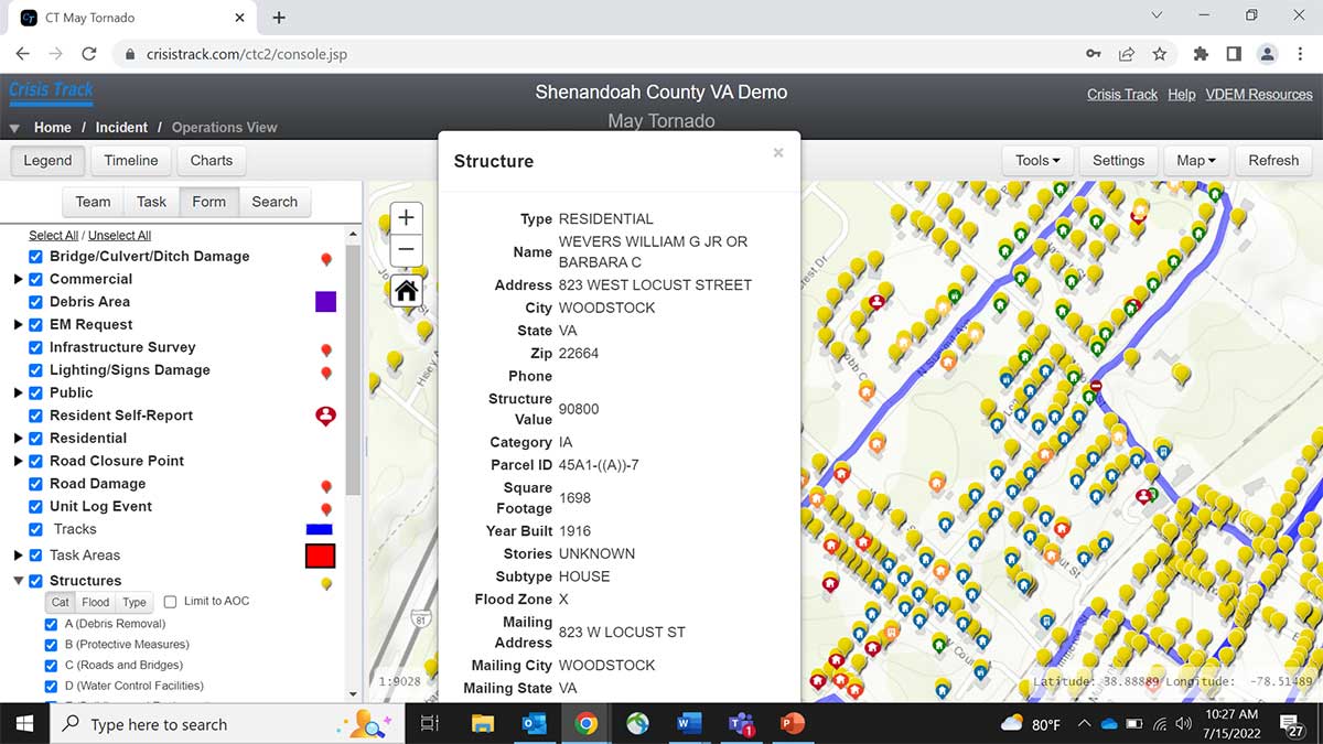
Crisis Track’s Damage Assessment tier has everything you need to prepare for a declaration.

  • View countywide infrastructure preloaded from your organization’s GIS and tax assessment data.
  • Use developed and tested standard operating procedures and exercises to train your teams.
  • Preplan common emergency management tasks before the incident happens.
  • Capture critical data on phones and tablets, even without internet connectivity, through the Crisis Track mobile app.
  • Generate real-time damage assessment data that moves directly from the field into the EOC and onto FEMA forms.

Complete Disaster Management

Building on the Damage Assessment tier, this option provides users with complete functionality for managing disaster response and recovery.

  • Input disaster data captured by field teams into correctly formatted FEMA forms with just a few clicks.
  • Track resident evacuations.
  • Manage labor and equipment resources for possible reimbursement, with tools that enable both tracking and report generation.
  • Capture resident-reported initial damage reports through a pre-configured self-reporting website and proven call center workflows.
  • Manage debris removal operations from quantity estimation and mapping through removal operations.

Take advantage of the WebEOC and ArcGIS Online integrations for further analysis.

All Hazards Emergency Management

This option includes the features of the other two tiers and expands to provide functionality for incident action planning, resource management, and situation reporting on emergency management incidents.

  • Track resource assignments and availability within an operation.
  • Quickly create, manage, and capture information for an incident action plan from the EOC or directly from a phone.
  • Enable search teams to plan, manage and document search activities in real-time.
  • Analyze, track and document the events and costs associated with HAZMAT Response incidents as well as prepare documentation needed for reporting and cost recovery.

Plan evacuation surveys and issue reentry permits using your organization’s infrastructure location and property ownership data.

Contact us to learn more about Crisis Track or to request a demo

More to Explore