A Fast-Moving, Multi-Hazard Event
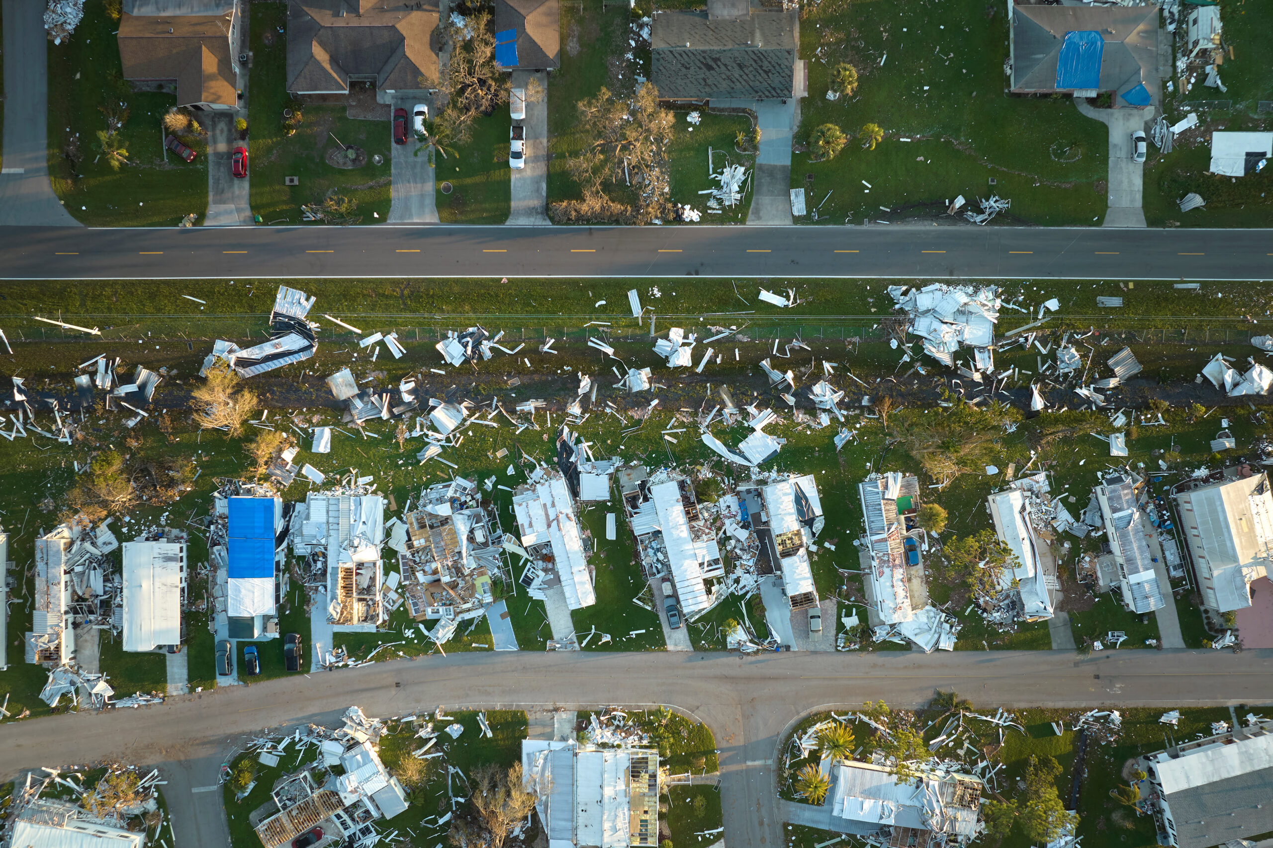
On August 11, 2026, a derecho tracked more than 300 miles from eastern Iowa through northern Illinois and into Indiana and Ohio, producing straight line winds over 70 mph and gusts as high as 99 mph in Gary, Indiana. The system also spawned at least eight tornadoes across the region. At least three people died, and a multiday outage event followed, with more than 700,000 customers losing power and one utility, NIPSCO, recording the largest outage in its history. Additional rounds of severe weather and flash flooding in the following days compounded the damage across Illinois and Indiana, prompting Indiana’s governor to request a federal emergency declaration.
Derechos present a distinct operational challenge. Unlike a hurricane, there is little lead time between the moment a storm complex is identified as dangerous and the moment it produces damage on the ground. The wind field is wide, the damage is often discontinuous, and a single event frequently produces tornadoes, flooding, and widespread power loss at once, each requiring a different type of response.
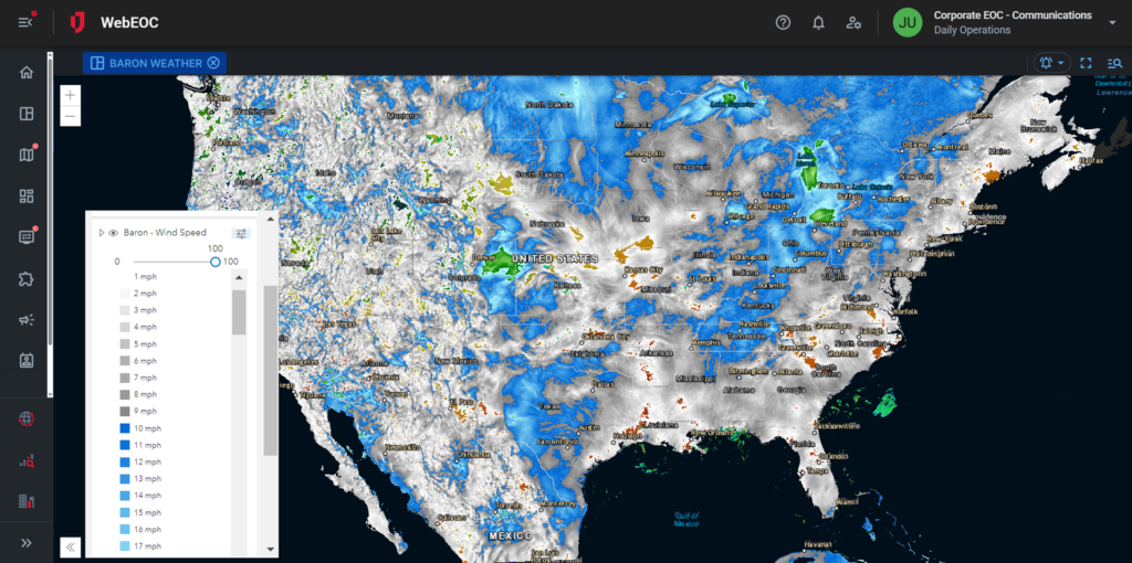
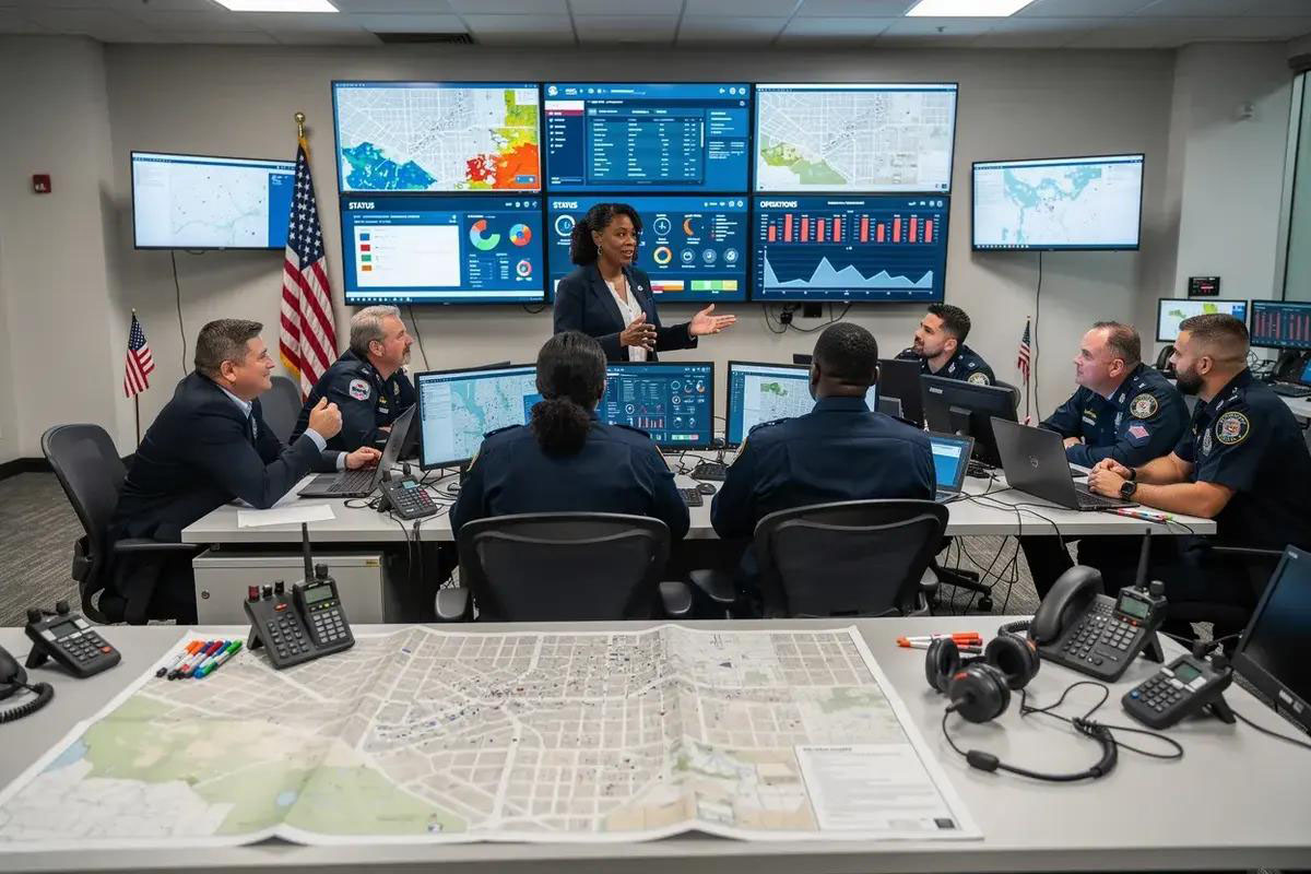
Juvare clients are using the WebEOC platform to help coordinate response to the derechos affecting Indiana, Illinois, and the surrounding region, supporting the real time coordination a fast-moving, multi-hazard event requires.
Coordinating Response & Recovery in WebEOC
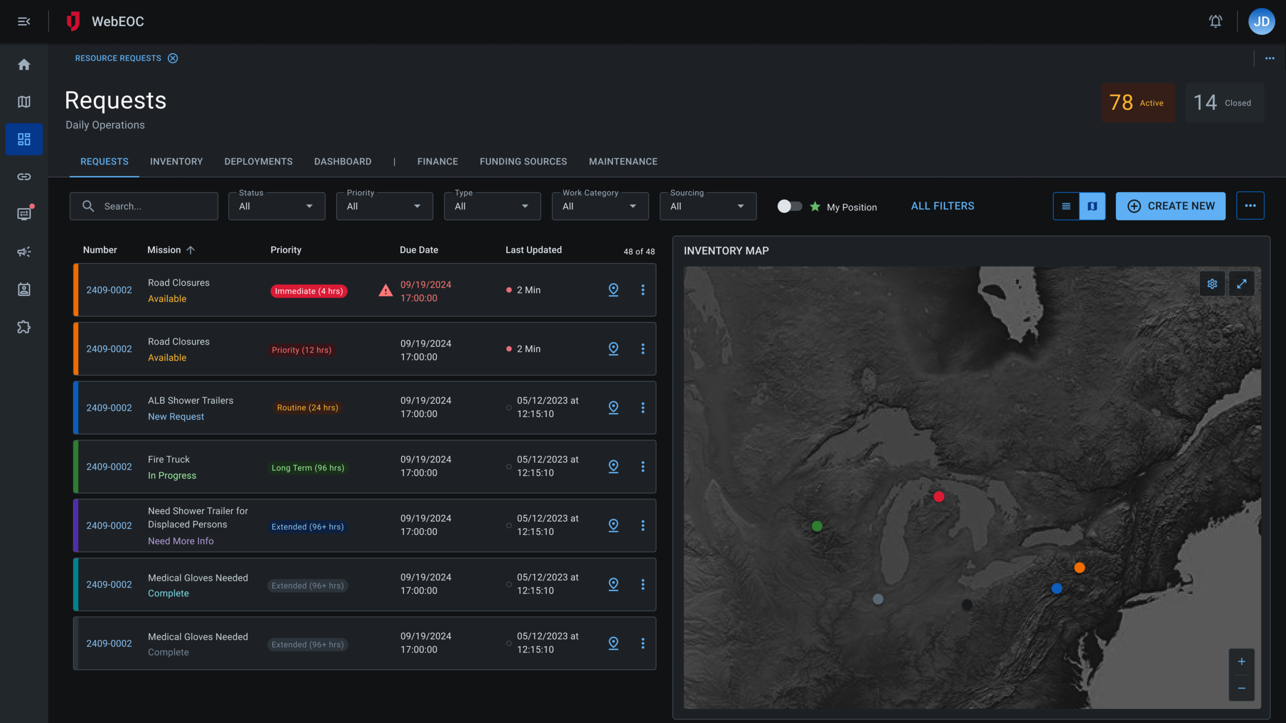
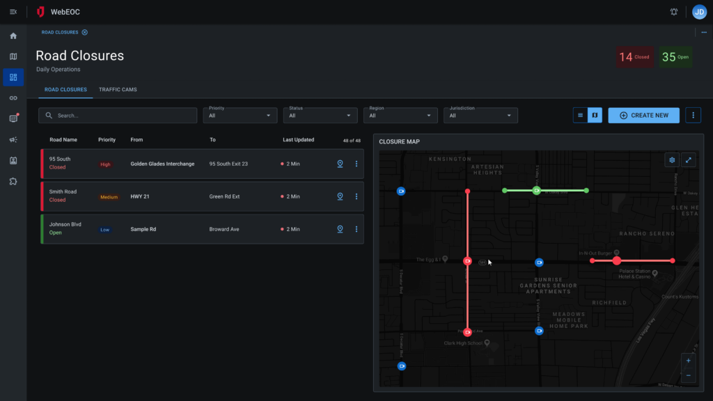
Several WebEOC boards map directly onto the operational demands of an event like this. The Situation Report board consolidates updates from county EOCs, utilities, and state agencies into a single published SITREP as damage assessments come in from dozens of jurisdictions at once. The Significant Events and Activity Log views maintain a chronological, timestamped record of tornado touchdowns, wind damage, and flooding as they are confirmed, keeping staff on the same operating picture as conditions change by the hour. The Requests/Tasks board routes mutual aid, generator deployments, and utility support requests to the right position for action and tracking, which matters when contractor crews and mutual aid resources are pulled in from outside the affected states. The Road Closures board tracks blocked roads from downed trees and lines, and the Shelters board gives visibility into cooling center and shelter capacity, relevant given the heat risk to residents without power for extended periods.
Recovery is the next phase. Damage from a derecho is often spread across a wide, uneven path, mixing wind, tornado, and flood damage within the same counties. Crisis Track gives field teams a standardized way to capture that damage data property by property, generate FEMA-compliant reports, and provide the documentation governments need to secure disaster assistance funding.
Extending the Platform through Partner Integrations