


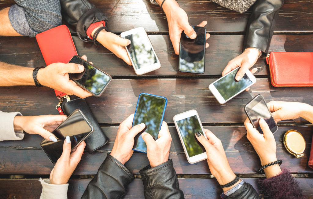
When response time is limited, clarity can be vital. This is why social media has grown to be an essential resource for modern emergency management. Social media opens the door to previously inaccessible communications. Emergency teams can engage disaster victims directly, and communities can regularly deliver safety updates from almost anywhere. With images, videos, audio recordings, messages, GIS data, the diversity of content, and different communication channels, social media during emergencies is a game-changer.
The benefits of social media have compelled the U.S. Department of Homeland Security (DHS) to recommend its use to all types of organizations. In a report detailing innovative use cases and key benefits, the agency singles out community engagement and information gathering as social media’s biggest draws.
DHS said social media networks like Facebook and Twitter enable collaborative communications with community members for better emergency preparedness. For information gathering, DHS reports local social media reporting enhances data analysis with actionable, real-time information.
“Social media and collaborative technologies have become critical components of emergency preparedness, response, and recovery,” DHS said in its report. “This information can be used by decision-makers in planning response strategies, deploying resources in the field, and in turn, providing updated and accurate information to the public.”
With this in mind, here are five DHS social media use cases. Each highlights innovative techniques organizations can apply and social media best practices.
For more details about leveraging social media in emergency management, you can also read about WebEOC, Juvare’s emergency management system that can integrate social media search and data analysis all in one system.
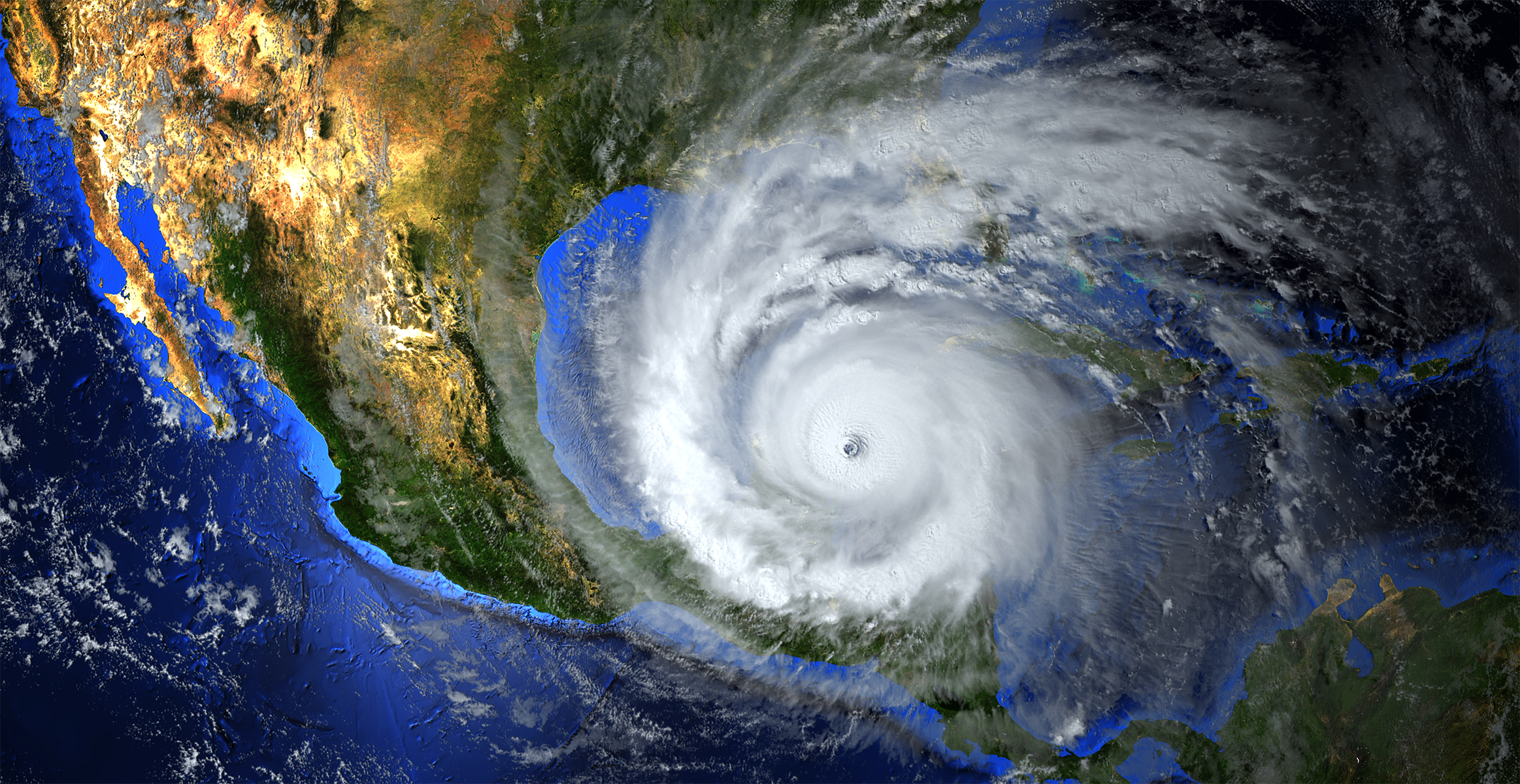
1. New Orleans Harnesses Hashtags for Hurricane Alerts
Event: Hurricane Isaac, 2012
When Hurricane Isaac swept through the Gulf Coast in 2012, New Orleans and emergency responders looked to Twitter, YouTube, Facebook, and Flickr as new channels to warn and educate the public. The hurricane raged from Aug. 21 to Sept. 3, decimating local communities and leaving behind a $3.1 billion trail of damages. To reduce Isaac’s impact, the City of New Orleans, FEMA, the National Hurricane Center, and the National Weather Service deployed a coordinated social media response using the hashtags #Isaac and #NOLA. The posts included hashtags to make information easily searchable and identifiable. New Orleans social feeds kept residents updated with details about road closures, flooding, transit access, and damages. Looking back, DHS said the social media campaign was a huge success, prompting community posts of eyewitness videos, photos, and feedback about damages, utility outages, new flooding locations, and road closures. News outlets even bolstered the efforts by informing residents about government social media accounts and hashtags.
2. Victoria Fire Deploys Interactive Multimedia Website for Bushfires
Event: Australia Bushfires, 2009
In 2009, bushfires tore through Victoria, Australia, threatening the lives of its 6.6 million residents. To help communities through the disaster, the Country Fire Authority (CFA) launched an interactive, multimedia website called the CFA News & Media website. The CFA created the site to engage residents collaboratively and dynamically manage information in one centralized place. The site combined official and unofficial fire details. This content included agency updates, news from media outlets, and a discussion board, and allowed the public to post social media comments via messages, images, and videos. During the crises, the DHS reported that the website improved communications and has become a cornerstone for engagement. DHS notes the site benefited from a robust social media policy, guidelines that defined the roles of staff, training, and best practices for Facebook and Twitter ― the CFA’s primary social media platforms.
3. Humanitarians in Haiti Create an Earthquake Crises Map
Event: Haiti Earthquake, 2010
The 2010 earthquake in Haiti was one of the most devastating disasters in recent memory. On Jan. 12, 2010, a 7.0 magnitude earthquake struck the country, killing 316,000 and displacing more than a million residents. In Port-au-Prince, Haiti’s capital, the quake and its aftershocks crippled hospitals and the city’s airport, and left its seaport inoperable. This damage extended to the country’s communications networks and major roadways and nearly 300,000 buildings―mostly residences―that were destroyed. Support from world humanitarian organizations used satellite imagery to map the country and launch an interactive digital crisis map called the Ushahidi Platform. Using social media mapping functionality, the platform mapped geotagged Twitter and Facebook messages along with digital content from dozens of different sources. Residents, aid workers, and first responders could then get a bird’s eye view of affected disaster zones. DHS said the U.S. Coast Guard, the American Red Cross, and the U.S. Marine Corps leveraged the tool to provide aid.
4. Queensland Police Fight Flooding with Social Media Warnings and Alerts
Event: Victoria, Australia Flooding, 2010-2011
In 2010, heavy waters inundated the communities of Victoria, an Australian state with a population of more than 6.6 million people. The flooding displaced families and left a sprawling footprint of devastation. As part of the rescue and recovery effort, the Queensland Police Service (QPS) responded with feet on the ground and a wave of warnings and alerts. The signs came through traditional sources and via Facebook and Twitter, where QPS reported 39 million “post impressions” and 450 views per second in one peak 24-hour period. In addition to social media outreach, police launched an interactive crisis map in 2011 to call out the locations of evacuations, hazards, road closures, property damage, and electricity outages. DHS said the Australian government “lauded” the effort so much it used the experience to create social media guidelines for other agencies.
5. Christchurch Locates Earthquake Victims with Google Person Finder
Event: Christchurch, New Zealand Earthquake, 2011
When the Category 6.2 earthquake struck the city of Christchurch, New Zealand, few were prepared for the unexpected impacts. Roads cracked, bridges collapsed, whole pieces of earth rose and fell. Floods, hazardous spills, falling building debris — the damages were unprecedented, and, ultimately, 185 people died as a result. As the community mourned and first responders went to work, the city deployed various social media tools to report dangers and warnings. This work included the launch of a community information page on Facebook, providing updates on Twitter, creating a recovery map, and using the Google Person Finder tool to gather and distribute details on missing persons. In the aftermath, Google Person Finder allowed officials to embed a Web app into their websites that enabled the community and agencies to report missing persons, and when located, to receive information about their status. Based on its effectiveness, Google Person Finder has been deployed in seven major catastrophes since its use by Christchurch in 2011.
Juvare’s WebEOC emergency management software lets you search social feeds and pull in social media data for reporting all in one system.