- SOLUTIONS
Juvare Products
Juvare Solutions
Juvare Industries
- Emergency and Operations Management (WebEOC)
- Federal Solutions (Juvare UCP)
- Business Continuity (BC)
- Damage Assessments (Crisis Track)
- Health Alert Networks (CORES HAN)
- Volunteer Responder Management (CORES RMS)
- Incident Command and Notifications (eICS)
- Healthcare Resource Management (EMResource)
- People and Patient Tracking (EMTrack)
- RESOURCES
- COMPANY
- CONTACT
- SUPPORT


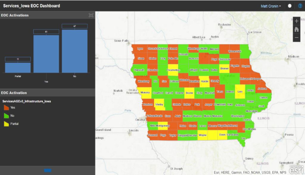
 ArcGIS Pro now offers all the required functionality for editing and data management tasks while exponentially expanding their capabilities in spatial analysis. The extension allows clients to leverage WebEOC data in tandem with ArcGIS Online data sources, tools, and dashboards. The result is near real-time Board data availability within ArcGIS Online applications without the need for any custom development or additional technical expertise. By accessing and visualizing WebEOC data in ArcGIS Online, the ArcGIS Extension for WebEOC supports a more accurate and cohesive common operating picture than ever before.


