In the immediate aftermath of a disaster, information is often incomplete and conditions on the ground are difficult to assess. Smoke from wildfires, widespread flooding, and lingering storm clouds can delay critical decisions when time is of the essence.
That’s why Juvare has partnered with ICEYE, the global leader in Synthetic Aperture Radar (SAR) satellite technology. By integrating ICEYE’s real-time satellite imagery into both WebEOC and Crisis Track, emergency managers can now gain rapid, reliable insight—and take action faster than ever.
What Is SAR—and Why It Matters
SAR, or Synthetic Aperture Radar, is a satellite imaging technology that uses radar signals—rather than visible light—to generate high-resolution images of the Earth’s surface. SAR can see through smoke, clouds, and even darkness, capturing clear data regardless of weather or time of day.
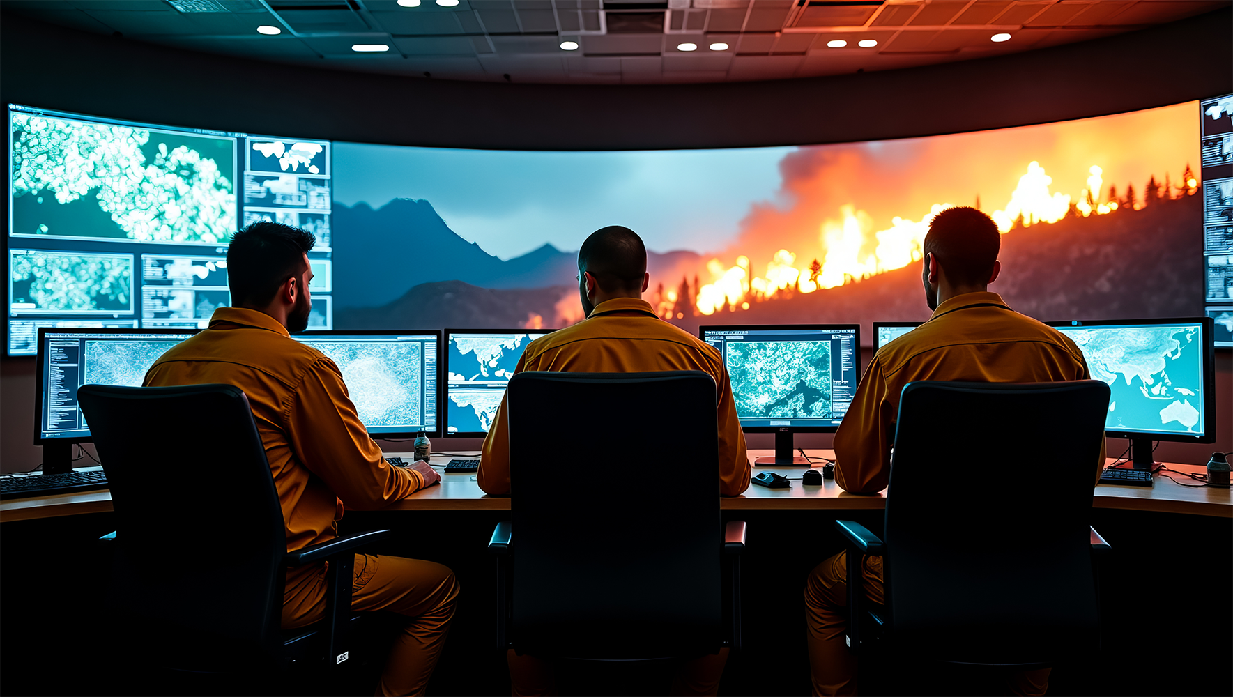
This is especially critical in the hours and days following events like:
Wildfires – see damage even while smoke is still in the air
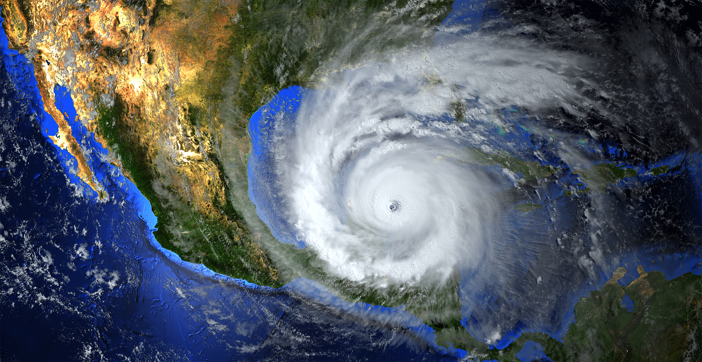
Hurricanes – assess coastal flooding before skies clear
Floods – detect submerged infrastructure in real time
Tornadoes – map paths of destruction and pinpoint isolated areas
Earthquakes – identify collapsed or damaged structures remotely
Seamless Integration with WebEOC
ICEYE’s SAR imagery is now fully integrated into WebEOC, Juvare’s industry-leading emergency management platform. This allows operations centers to visualize disaster impact in near real time, directly within the tools they already use to coordinate response.
With SAR imagery embedded into incident boards and maps, users can:
- Gain instant situational awareness of hard-to-see areas
- Track the progression of floods, fires, and other hazards
- Overlay imagery with infrastructure, personnel, and resource data
- Coordinate more effectively across jurisdictions and agencies
No switching tools. No waiting for flyovers. Just immediate clarity when it matters most.
Crisis Track + ICEYE: Rapid FEMA Documentation
Crisis Track, Juvare’s damage assessment and disaster recovery solution, now also benefits from ICEYE integration. This means field teams and recovery personnel can pair ground-level data with satellite-confirmed imagery to:
- Accelerate FEMA Public and Individual Assistance declarations
- Strengthen damage reports with satellite-verified visuals
- Support resident self-reporting with geospatial evidence
- Document and validate infrastructure impacts more efficiently
In disaster recovery, speed and accuracy drive funding and resource allocation. With SAR-enhanced workflows, Crisis Track users are equipped to act quickly and back every assessment with confidence.
A New Standard in Emergency Management
Whether it’s fire in the West, flooding in the Midwest, or hurricanes along the coast, Juvare + ICEYE now provides a new standard of visibility and response.
Across both WebEOC and Crisis Track, emergency managers can:
- Respond faster with real-time satellite data
- Make smarter decisions with verified, high-resolution imagery
- Improve coordination, funding, and recovery efforts across all levels
Because when every second counts, clear insight leads to better outcomes.