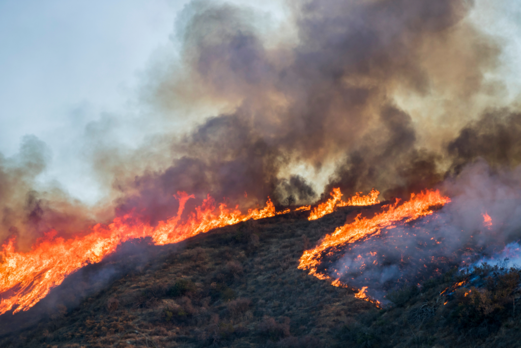
 As California continues to face another intense wildfire season, multiple fires are currently burning across the state, with evacuation warnings issued in key areas like Orange County and Trabuco Canyon. Authorities have reported active blazes, including the Bridge, Line, and Airport fires, which have prompted mass evacuations and are testing the resilience of the state’s emergency response systems.
One of the most significant fires, the Line Fire, has already scorched thousands of acres, with the arrest of a suspect pointing to possible human involvement. As of the latest reports, firefighters are working tirelessly to contain the blazes, but the unpredictable winds and dry conditions have made the task even more challenging.
Current California Wildfires: Status Updates
As California battles multiple wildfires, here’s an overview of key fires currently burning across the state:
- Line Fire (Southern California)
- Location: Southern California
- Acreage: Over 10,000 acres burned
- Containment: 35%
- Key Updates: The Line Fire remains a significant challenge for firefighting teams. Erratic winds and dry conditions have led to rapid fire spread, putting nearby communities under evacuation orders. Authorities recently made an arrest of a suspect connected to the fire, adding urgency to the containment efforts.
- Bridge Fire (Northern California)
- Location: Northern California
- Acreage: Around 5,000 acres burned
- Containment: 45%
- Key Updates: In the northern part of the state, the Bridge Fire is affecting rural communities, with significant progress being made toward containment. Crews are concentrating on defending homes and critical infrastructure, with optimism about more progress as weather conditions improve.
- Airport Fire (Orange County)
- Location: Trabuco Canyon, Orange County
- Acreage: 3,500 acres burned
- Containment: 20%
- Key Updates: The Airport Fire is directly threatening suburban areas, and evacuation warnings remain in place for parts of Orange County. Crews are battling shifting winds and proximity to major highways, making containment efforts a top priority.
- Trabuco Canyon Fire
- Location: Trabuco Canyon, Southern California
- Acreage: 1,200 acres burned
- Containment: 50%
- Key Updates: Firefighters have made significant progress in controlling the Trabuco Canyon Fire. Some residents have been allowed to return home as containment lines are strengthened, with expectations for full containment in the coming days.
Air Quality and Evacuations
- Air Quality Alerts: Air quality has deteriorated in several counties, including Los Angeles and Orange, prompting health advisories for residents with respiratory conditions.
- Evacuations: Evacuation warnings remain in place for numerous areas, especially in Southern California, where suburban communities are at risk. Emergency services continue to monitor the situation closely, updating residents as conditions evolve.
Juvare’s Role in Supporting Emergency Management
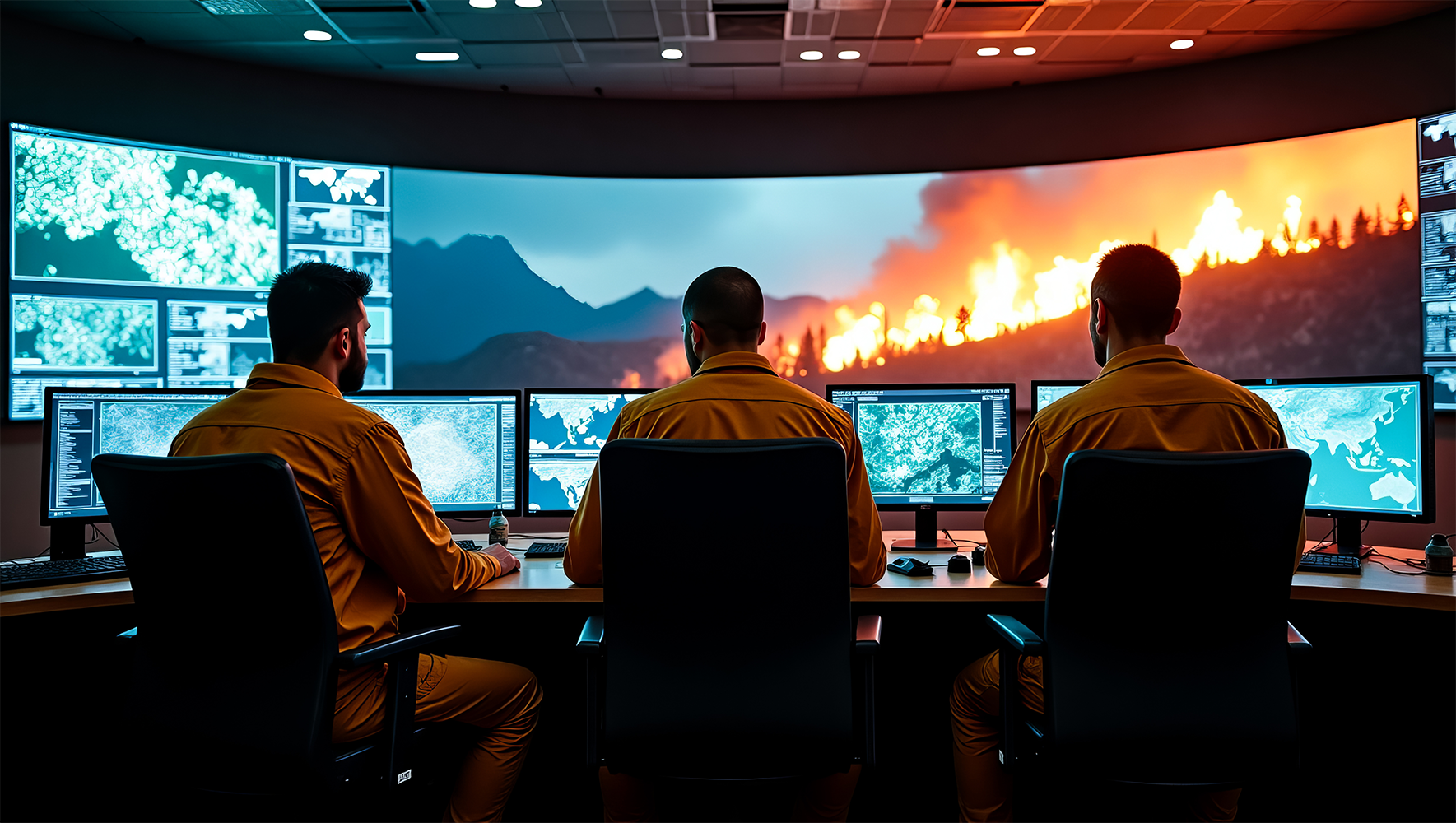
In times like these, the coordination and communication efforts of emergency operation centers (EOCs) are critical to ensuring that residents are evacuated safely, resources are deployed efficiently, and first responders are kept up to date on rapidly changing conditions. Our flagship product WebEOC, used by numerous state and local agencies, provides the necessary tools to manage such complex situations effectively.
Real-Time Data for Informed Decisions
During fast-moving events like wildfires, accurate and timely information is key. WebEOC allows emergency managers to integrate real-time data on fire progression, weather conditions, and evacuation status to ensure that decisions are made based on the most up-to-date information. The platform also enables seamless coordination between multiple agencies, ensuring that state, county, and city officials are all aligned in their response.
Efficient Resource Management
With fire departments stretched thin across the state, allocating resources efficiently is a significant challenge. Juvare’s solutions support the tracking of equipment and personnel, ensuring that fire crews, aircraft, and supplies are sent where they are most needed. WebEOC’s capacity to manage large-scale operations and automate workflows allows emergency managers to focus on critical decision-making, rather than being bogged down by administrative tasks.
Evacuations and Public Safety
The priority in any wildfire response is the safety of residents. Juvare’s Crisis Track solution aids local governments in facilitating evacuations by leveraging GIS technology to identify vulnerable areas quickly. As evacuation orders are issued, Crisis Track assists in monitoring residential areas, ensuring that public safety remains the top focus.
Preparing for Future Threats
As California and other wildfire-prone regions continue to face longer and more destructive fire seasons, it’s essential for emergency operations to evolve. Tools like WebEOC and Crisis Track not only assist during the immediate response but also provide insights for after-action reporting. By analyzing data collected during the wildfire season, emergency managers can better prepare for future incidents, improving response times and resource allocation.
The Importance of Preparedness and Technology
The ongoing California wildfires are a stark reminder of the importance of having cutting-edge emergency management systems in place. As we look ahead, Juvare remains committed to supporting communities with the technology and expertise needed to protect lives and property. With solutions that enhance coordination, automate processes, and keep the public informed, Juvare empowers emergency managers to stay ahead of the next disaster.


